19
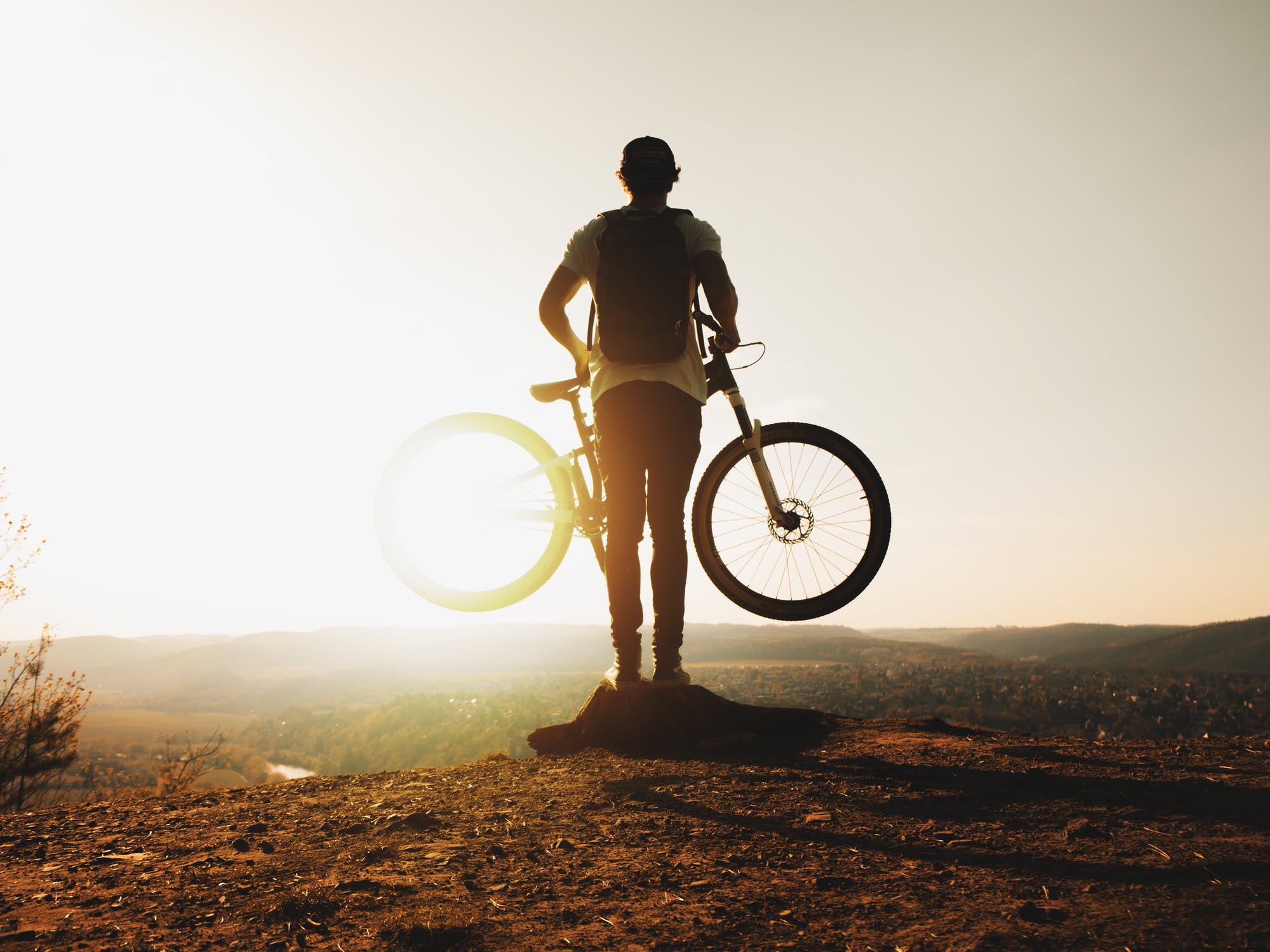
Thanks to the FERA (fabbrica energie rinnovabili alternative) and theA.S.D. CinghialsTracks, a group of local athletes, who share with us a new gpx track;
Simple, smooth, on a hard surface, deep in the woods and nature, with wide paths covered in autumn with leaves, it is a perfect track for amateurs or learner cyclists.
We therefore thank the FERA Group, Gian Paolo Maggioni and all the volunteers of the A.S.D. CinghialTracks for the perfect holding of the trails and the sharing of the routes. You can also book their guide on the trails, in case you want to extend the two-wheeled experience.
For more information and downloads of MTB route tracks, please refer you to the official website of the association A.S.D. CinghialTracks →
![]()
Montenotte and surroundings